Dozens trapped by New Zealand quake that killed 65. It was a 6.3-magnitude quake.
Some Important facts about New Zealand Earthquake:
- The February 21, 2011 South Island, New Zealand earthquake occurred as part of the aftershock sequence of the M 7.0 September 3, 2010 Darfield, NZ earthquake.
- The February 21st earthquake involved oblique-thrust faulting at the easternmost limit of previous aftershocks, and like the mainshock itself is broadly associated with regional plate boundary deformation as the Pacific and Australia plates interact in the central South Island, New Zealand.
- This latest shock is significantly closer to the main population center of Christchurch, NZ. Sponsor's Ad:
- Since the September 3, 2010 mainshock, there have been approximately 6 M>=5.0 aftershocks in the Christchurch region.
Following image shows the Instrumental Intensity of New Zealand quake:


Below is the map of New Zealand:
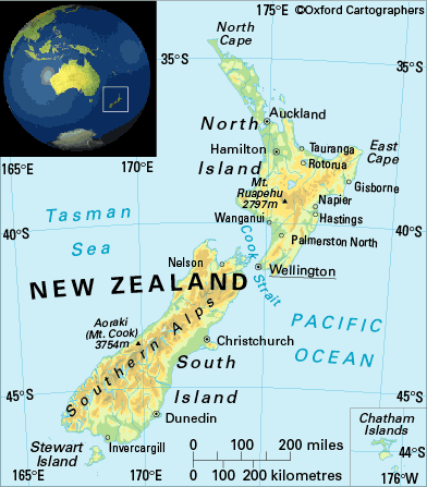 |
| Map of New Zealand |
No comments:
Post a Comment